
Intro
The way surveyors laid out the townships and counties (and property lines) back in the 1800’s is very interesting and intriguing to me. It is also great for mental math (mental calculations). (Obviously these property lines are still used today.)
I’ll scratch the surface and more can be found via google.
The (surveyor’s) Chain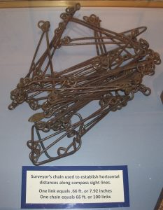
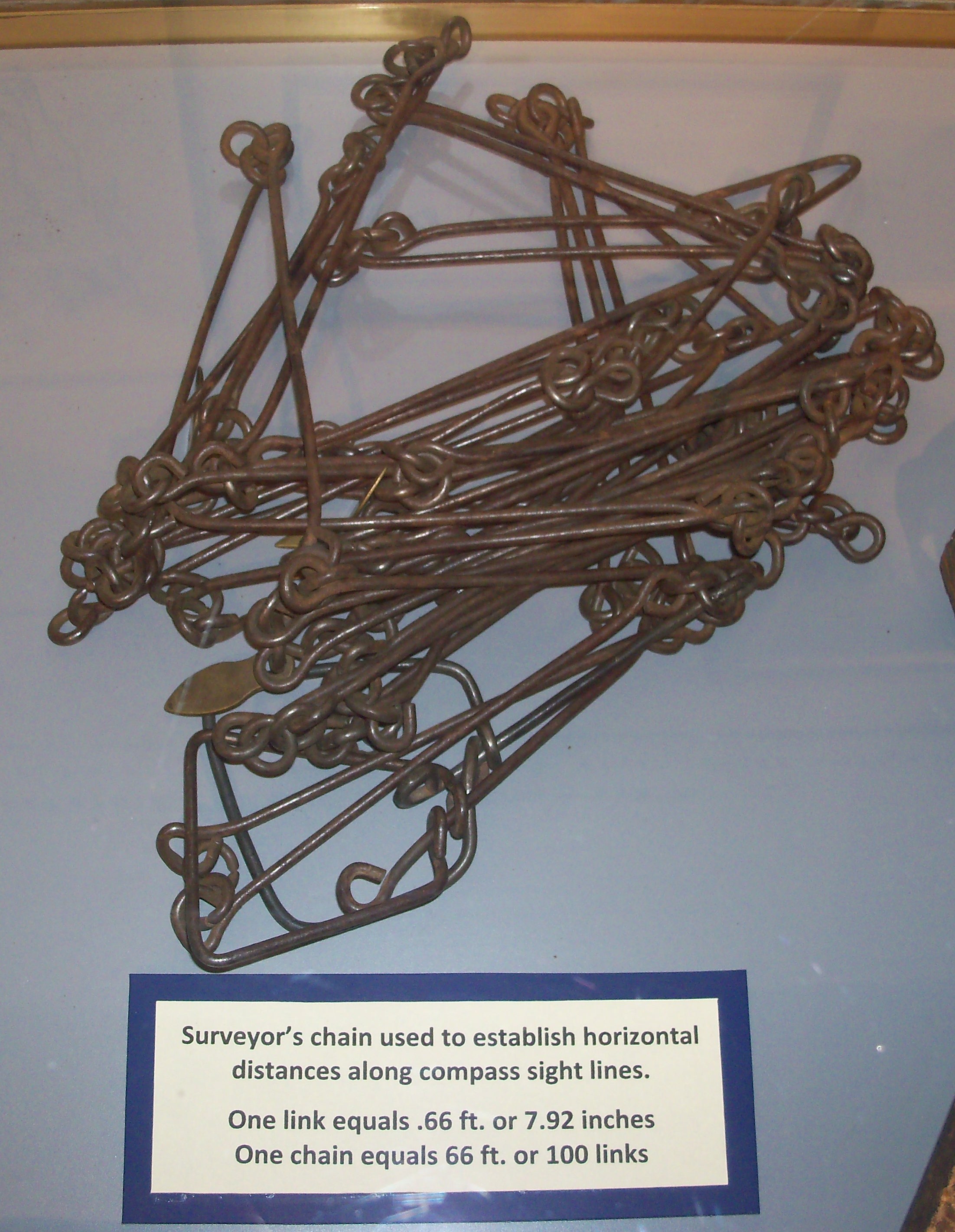
The Gunter’s Chain was developed in 1620. It is 22 yards long. https://en.wikipedia.org/wiki/Gunter%27s_chain
22 yards (66 feet) is the basis of everything.
(Obviously, in the 21st Century surveors have numerous high-tech tools to use.)
The Furlong
10 Chains is a furlong. A furlong is 1/8 of a mile. Horseraces are often measured (still today) in furlongs. For example, a 6 furlong race is 3/4 of a mile. (I told you there was going to be easy mental math.)
220 yards is a furlong (or 660 feet). When I was in high school, we still ran the 220 (and 440 and 880). It has been replaced by the 200 meters (400 and 800). The 1600 meters is still often affectionately call The Mile.
The Chain and the Furlong are 1D units of measure (lengths). The rest below are 2D units of area.
The Acre
An area is a furlong by a chain is an acre. (660 by 66 feet)
640 acres is a square mile. An acre is 1⁄640 of a square mile. (geez, now reciprocals)
The Section
A section is 1 square mile. (Remember, this is 640 acres.) These are seen out in the country all the time (at least here in the beautiful Midwest). County (country) roads are often 1 mile apart.
A quarter section is 160 acres. It is typical for a section to be divided in fourths for sale. Wesley Church owns  a quarter section of land (160 acres) in the Macomb Township of McDonough County (county map below) of Illinois. (The Macomb Township is different from Macomb City.)
The Township
Townships may have irregular borders due to it really being a town (like Macomb) or rivers.
More commonly a township is 36 sections (6 miles by 6 miles). Sections are numbered starting in the upper-right (NE corner) with number 1, going west. The numbering snakes its way back and forth through the township, ending with section #36 in the lower-right (SE corner).
Townships in McDonough County (Illinois) are shown.
A map of the Macomb Township is shown. The land owned by Wesley Church is NW quarter of section 28. 
(This map was found at http://sullivanauctioneers.flywheelsites.com/wp-content/uploads/2015/01/01.strode_plat.jpg)
The County
We all know what a county is. County borders are often irregular due to rivers or other reasons. A good example is the map of Illinois counties (shown).
I will note that McDonough and many of the counties in Iowa (shown) are square (or rectangular). Frequently 4 townships by 4 townships. Frequently approximately 576 square miles.
While a county may be “4 townships by 4 townships,” it is usually the case that there are more than 16 townships due to various factors. The Macomb Township map (above) is a good example.
(our) McDonough County (Illinois)
Our county is very symmetrical. It is a near-perfect square. The county seat, Macomb, is in the center of the county, and the courthouse is almost precisely in the center of the county.
Credits, Comments, and the Curvature of the Earth
While attending the Milburn (Nebraska) School Reunion (July 3, 2016) I was fortunate to visit with a man (over a 1904 Platbook of Custer County) and he explained much of what I’ve written above.
It’s Sydney Coker’s birthday today and since she lives in the country and is good at math (her dad’s not bad either) I thought it would be a good day to write this up.
The accurate maps that were made in the 1800’s when the US was platted are amazing because they did not  have the technological tools we have today. They did have the necessary mathematical tools.
There is an interesting exception (to all this accuracy). The western border of South Dakota has a notch in it, due to a surveyor
error (details explained here). Click image to enlarge.
But what about the curvature of the earth? Since the longitude lines converge at the north pole, they are coming closer together as one moves north. This is corrected for a number of ways. One is that north-south country roads often have an (otherwise unexpected) jog in them as seen here. Also, it turns out then that not all sections (square miles) are actually 1 square mile. Many plat books do show the exact area (OK, a better approximation for the area) for a plot of land, when a correction was made. (You wouldn’t want to pay for 40 acres when you are only getting 39!) See Grid Corrections for more.
The acre – has always been illusive for me. Here are three ways to visualize it.
- 220 yards by 22 yards (as above, Chains)
- Square: About 70 yards by 70 yards (69.57) (209′ x 209′)
- On the football field: 90.75 yds by width (which is 160′)
More Information
The system which I’ve tried to describe resulted from Thomas Jefferson’s Land Ordinance of 1785.
There are some platbooks available online showing maps of townships. Many more are available in libraries (and at the courthouse). (An image search, for example for map of ‘bushnell township mcdonough county illinois,’ works pretty well.)
http://www.library.illinois.edu/max/collections/Plat_Books.html
There is certainly more to know about all this (and some terminology I’ve left out), but I’ll stop here. I welcome comments.
by Jim Olsen JR-Olsen ‘at’ wiu.edu
Recent Comments